Using Google Maps, I drew some contextual site plans to accompany my original site plan. Sketch one illustrates where Fox River Drive, Fox River and the trees are located. Sketch two is a clearer drawing of where the roads and river is and how people can access Farnsworth House. The next step is to use Photoshop to add colour to both representations.
Both drawings are not to scale.
Both drawings are not to scale.
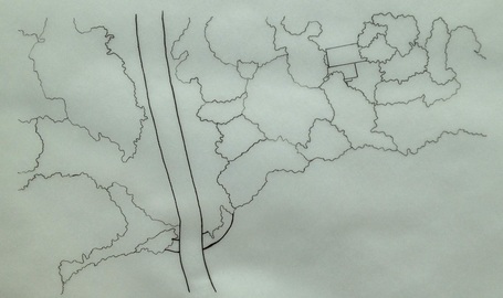 Sketch One, by Jaya Rhaud (2015) | 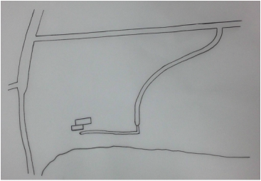 Sketch Two, by Jaya Rhaud (2015) |
